
Territorial intelligence · worldwide
From satellite to drone, a clearer picture of every plot
Four services, one platform: land due diligence, crop diagnostics, solar pre-feasibility — 0-100 scored reports delivered within 48 hours — and high-precision drone missions on quote.
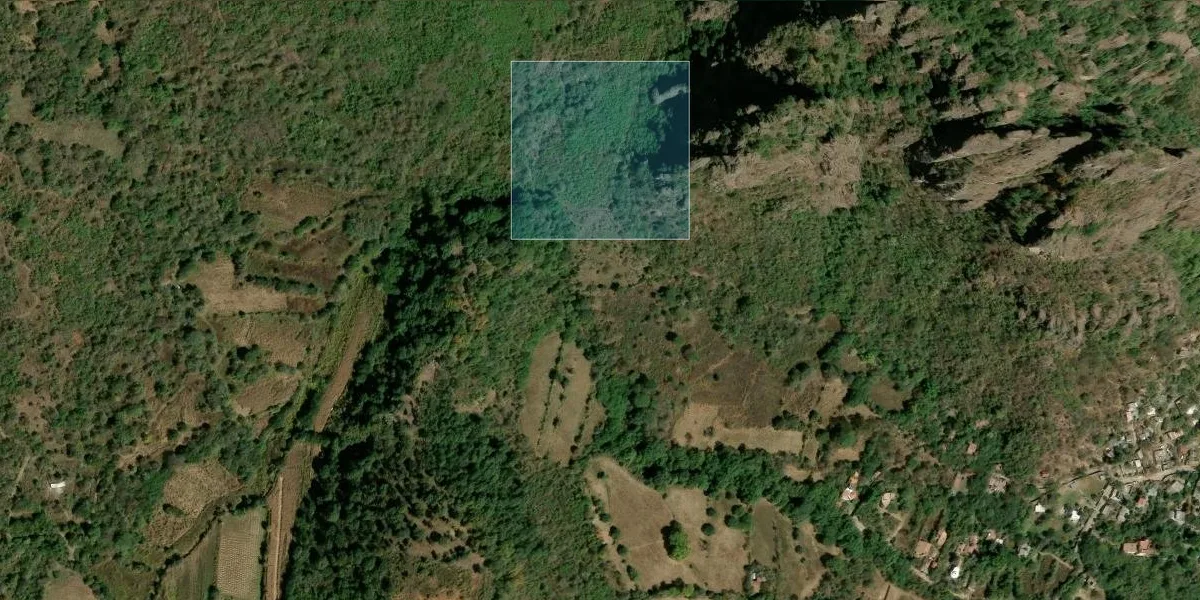 Score 72.5/100
Real excerpt — Land report, Tepoztlán (MX), 4 ha
View the full report (PDF) →
Esri, Maxar, Earthstar Geographics
Satellite data
Sentinel-2 · NASA · public registries
Drone surveys
RGB · thermal · multispectral
AI & analytics
0-100 scoring, multi-source
Actionable reports
PDF + interactive map, within 48 hours
Two ways to know your land
 from $29
Geospatial reports
Satellite, public registries and AI combined into one 0-100 scored report — delivered within 48 hours.

Land & Tenure
Check before you buy: tenure (ejido, communal, private), safety, natural hazards, access, environment.
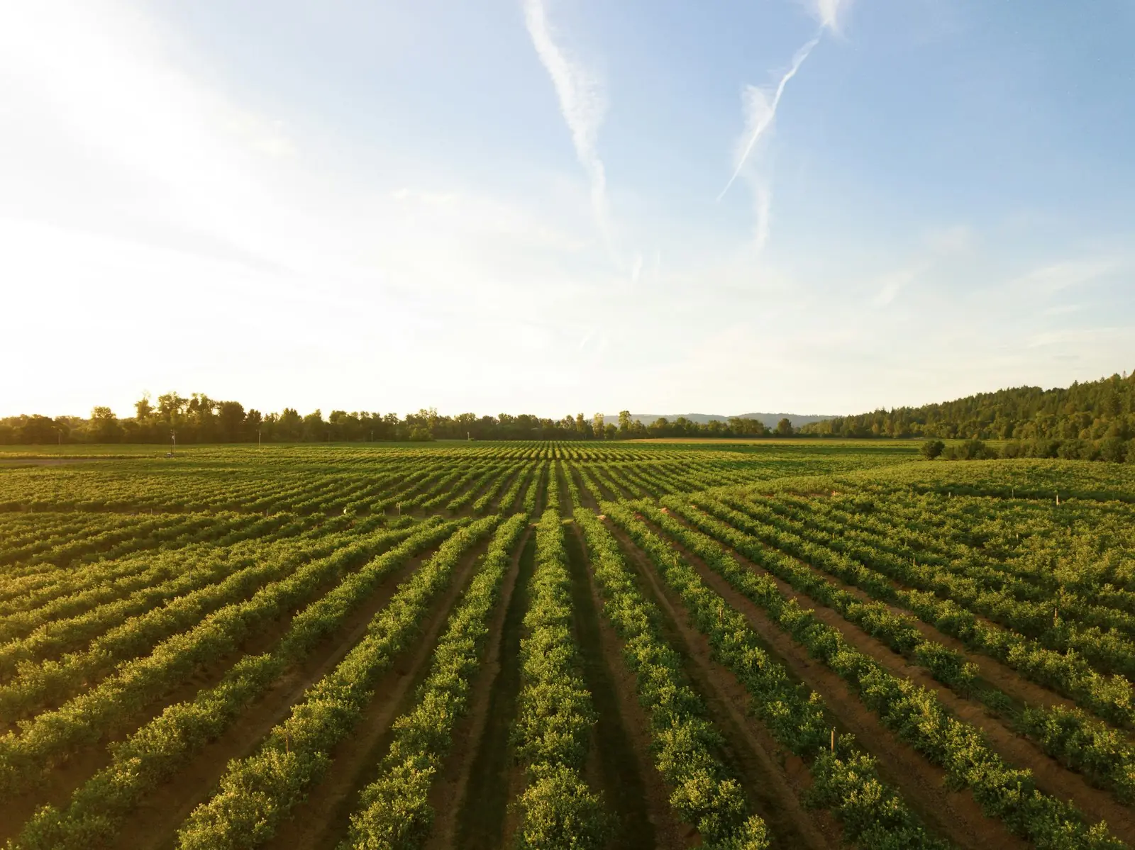
Agriculture & Crops (NDVI)
Your field's real health seen from space: NDVI/NDRE vigor, water, climate fit for your crop.
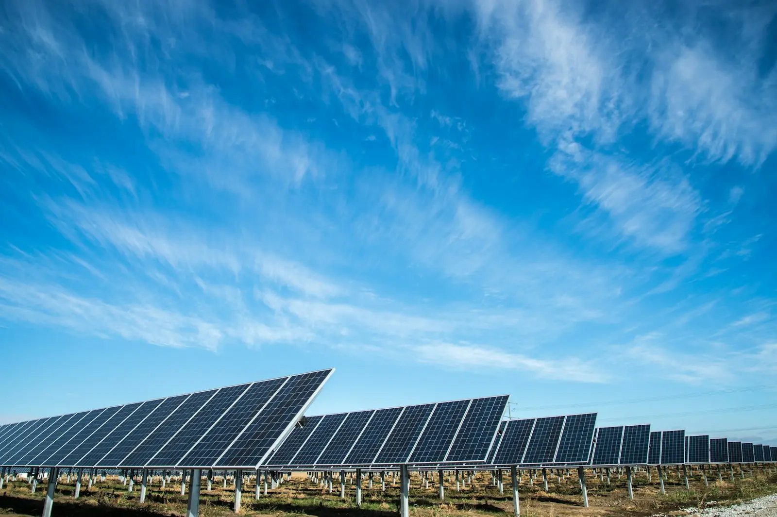
Solar & Irradiance
Your site's solar potential: irradiance, slope, grid distance, climate risks.
 quote-based
Drone services
When satellite isn't enough: centimeter-grade mapping, 3D models, technical inspection, RTK — flown on site by our team.
- ◆Orthomosaic & mapping
- ◆Photogrammetry & 3D
- ◆Inspection & thermal
- ◆RTK, GCP & volumes
How it works
Pick your area
A GPS point, or draw your parcel on the globe.
We collect the data
Satellite, public records, climate, security — 50+ sources.
AI + scoring
Every dimension analyzed, explained and scored 0-100.
PDF report + interactive map
Delivered in your language (ES/EN/FR), online map for 90 days.
Decide with confidence
A clear, data-driven verdict — not opinions.

Why choose DataTerra
One report, 50+ sources
DataTerra is connected to more than 50 data sources across the world — Sentinel-2 and NASA satellites, public registries, climate, power grid, security — aggregated, cross-checked and interpreted into a single decision. No single website or agency will give you that in one place.
48 hours, not weeks
A traditional study takes weeks and costs thousands of dollars. Our reports are delivered within 48 hours, from $29.
Global backbone, local depth
Our agriculture and solar reports cover the entire world. And wherever we connect national registries — ejidos and RAN in Mexico, UPME and SIEDCO in Colombia — the report enriches itself automatically, at the same price.
See for yourself
Three complete sample reports, generated by our engine on real sites.
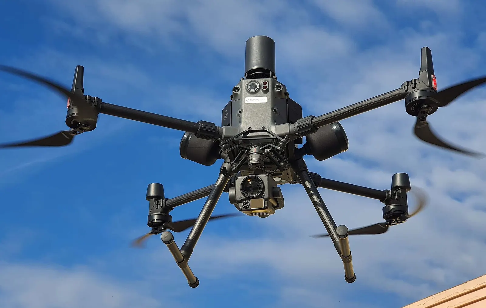
When satellite isn't enough
For centimeter-level precision, DataTerra operates drone flights: mapping, 3D and inspection — deliverables available online in your portal.
- ◆High-resolution orthomosaics
- ◆3D models & photogrammetry
- ◆Roof & building inspection
- ◆RTK flights & ground control points
- ◆Volumes & construction monitoring
- ◆Thermal imaging (solar panels)
- ◆Agricultural multispectral
- ◆Sensitive sites (power lines, cranes)
- ◆Property & land videos
- ◆On-site verification of your reports

Know the land before you invest.
For professional operators and partners
DataTerra OS: from operations to deliverables in one workspace
Prepare missions, manage customers, compliance and fleet, run cloud geospatial processing, and deliver maps, 3D models, volumes and reports through a client portal. 14-day free trial, no commitment.
- ◆Missions, CRM, documents, fleet and compliance
- ◆Cloud processing for maps, 3D and volumes
- ◆Reports and viewers for client delivery