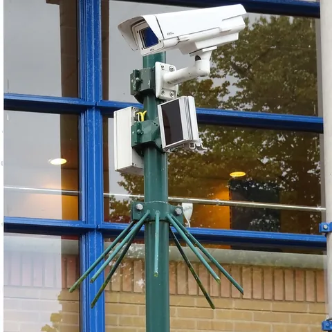
Security and response
A one-off aerial observation for understanding the perimeter
This mission documents a site on a date or during a defined exercise. It is not a permanent surveillance system. The security manager sets the question: mapping access and blind spots, reviewing visible change, documenting an exercise or providing imagery during a planned window.
Defining objective and protocol
The client supplies the boundary, authorized areas, access, sensitive zones, people present, risks, timing and communication chain. The parties agree who receives imagery, retention and what must be masked or not captured. Night, real-time and thermal work are assessed as specific scopes and never implied.
The route provides context and defined sector views without assuming flight over people or interfering with ground security. Property, privacy, data protection, airspace, lighting and link constraints may limit the mission.
How the mission is prepared
- 1
Describe the site and decision.
Location, area, environment, urgency and expected deliverables.
- 2
DataTerra checks feasibility.
Airspace, access, weather, equipment, resolution and permissions.
- 3
Receive a clear quote.
The proposal defines capture, processing, outputs, limits and conditions.
- 4
Access the results.
Agreed files and viewers are delivered through the client workspace.
Possible deliverables
- ✓geolocated photographs and video;
- ✓orthophoto or perimeter map where suitable;
- ✓locations of visible access, obstructions and points of interest;
- ✓record of an exercise or observation window;
- ✓report of coverage, time, limitations and observations relayed.
Example of the DataTerra mission report format (Corasol case) — shown only as a format sample, not as a demonstration of this operation.
📄 View a sample report (PDF)Limits and conditions
DataTerra does not promise automated person detection or identification, facial recognition, continuous patrol, armed response or intervention. Absence from imagery does not guarantee a clear perimeter. The security manager retains command, verification and response; the drone is a temporary information source.
Frequently asked questions
Is this 24/7 surveillance?▸
No. It is a planned mission or exercise with duration and coverage defined in the quote.
Are night flight or thermal cameras included?▸
Only when equipment, staff, permissions and conditions are specifically confirmed.
Does the system identify people automatically?▸
No. Automated identification and facial recognition are not claimed.
A mission-specific quote
Each mission uses only the methods required by its goal. GCPs, thermal or multispectral cameras, 3D models and reports are included when relevant and confirmed in the quote. RTK is mentioned only when its availability is confirmed explicitly. Submitting the request does not trigger a charge; DataTerra replies with a proposal.
Coverage and feasibility
Operations are available in Mexico and Colombia depending on location and operator availability. Airspace, site permission, access, weather, risk and required equipment are checked before confirmation.
Related operations
← Back to drone services
Tell us what you need to decide and which site must be documented.
Request a mission quote