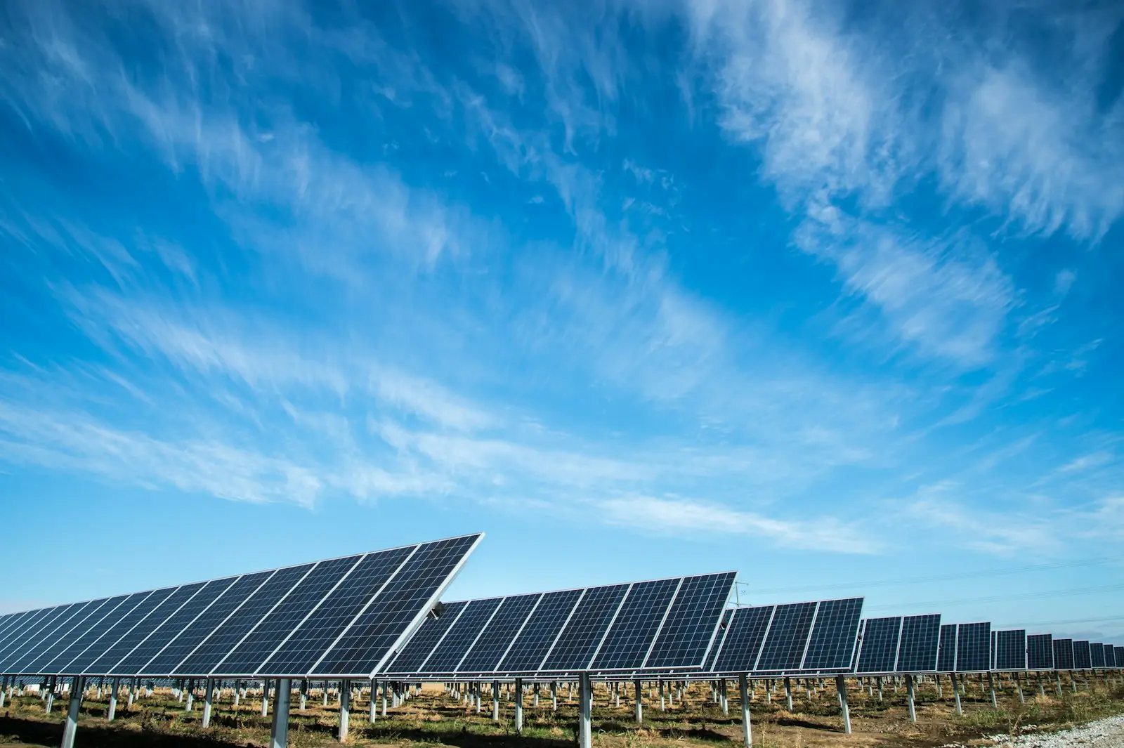
Energy, agriculture and environment
Current site geometry before the solar design is finalized
A satellite report can pre-screen land at regional scale. The drone answers a later question: which surfaces, slopes, obstacles and visible conditions exist today in the area the technical team intends to design?
From pre-screening to survey
The client provides roof- or ground-mount type, design stage, boundary, drawings, known orientation and engineering requirements. Vegetation, parapets, equipment, skylights, shading, access, level changes and excluded areas are identified. Roof work also considers obstacles and flight conditions around the building; ground work considers relief, coverage and extent.
The public Magdalena case demonstrates DataTerra's satellite pre-feasibility product, not a specialist drone mission. It illustrates screening before investing in detailed survey and engineering.
How the mission is prepared
- 1
Describe the site and decision.
Location, area, environment, urgency and expected deliverables.
- 2
DataTerra checks feasibility.
Airspace, access, weather, equipment, resolution and permissions.
- 3
Receive a clear quote.
The proposal defines capture, processing, outputs, limits and conditions.
- 4
Access the results.
Agreed files and viewers are delivered through the client workspace.
Possible deliverables
- ✓current orthophoto and oblique photographs;
- ✓surface or 3D model where capture supports it;
- ✓geometric measurements of visible surfaces and obstacles;
- ✓map of potentially usable areas for designer review;
- ✓documentation of shadows observed at capture time;
- ✓geospatial files and illustrated report.
A shadow observed during one flight does not represent the whole year. Any temporal analysis or simulation must state the date, solar position, data and assumptions used.
Example of the DataTerra mission report format (Corasol case) — shown only as a format sample, not as a demonstration of this operation.
📄 View a sample report (PDF)Limits and conditions
The survey does not certify structure, load capacity, waterproofing, grid connection, protection, yield, financial performance or electrical compliance. Engineers validate design, loads, regulation and production estimates. DataTerra documents the agreed geometry and visible condition.
Frequently asked questions
Does this replace the satellite solar report?▸
No. Satellite is a pre-screening tool; drone capture adds current site detail. They can be used together.
Does the flight calculate annual energy yield?▸
Not automatically. Yield requires a separate energy model and engineering assumptions.
Can imagery confirm a roof will support panels?▸
No. Structural capacity must be assessed by the responsible professional.
A mission-specific quote
Each mission uses only the methods required by its goal. GCPs, thermal or multispectral cameras, 3D models and reports are included when relevant and confirmed in the quote. RTK is mentioned only when its availability is confirmed explicitly. Submitting the request does not trigger a charge; DataTerra replies with a proposal.
Coverage and feasibility
Operations are available in Mexico and Colombia depending on location and operator availability. Airspace, site permission, access, weather, risk and required equipment are checked before confirmation.
Related operations
← Back to drone services
Tell us what you need to decide and which site must be documented.
Request a mission quote