Energy, agriculture and environment
Located thermal observations for focusing electrical review
Useful thermal imagery must be tied to a module or area and to operating conditions during capture. DataTerra plans coverage, pairs visible and thermal imagery and organizes observations; it does not automatically turn every temperature difference into a diagnosed defect.
Conditions that must be confirmed
The client supplies site plans or inventory, table and module naming, operating state, access and priority areas. Before confirmation, compatible sensor availability, irradiance, wind, cloud, time, angle, distance and required resolution are checked. If conditions cannot support interpretable data, the mission must be rescheduled or limited.
How the mission is prepared
- 1
Describe the site and decision.
Location, area, environment, urgency and expected deliverables.
- 2
DataTerra checks feasibility.
Airspace, access, weather, equipment, resolution and permissions.
- 3
Receive a clear quote.
The proposal defines capture, processing, outputs, limits and conditions.
- 4
Access the results.
Agreed files and viewers are delivered through the client workspace.
Possible deliverables
The route seeks consistent row coverage while reducing reflections. Thermal observations are paired with RGB imagery and location where resolution allows. Outputs may include:
- ✓organized thermal and visible imagery;
- ✓coverage map and observed sectors;
- ✓table-, row-, module- or zone-level location where supported;
- ✓sheets describing apparent thermal patterns;
- ✓agreed files and a report of conditions and observations.
Example of the DataTerra mission report format (Corasol case) — shown only as a format sample, not as a demonstration of this operation.
📄 View a sample report (PDF)Limits and conditions
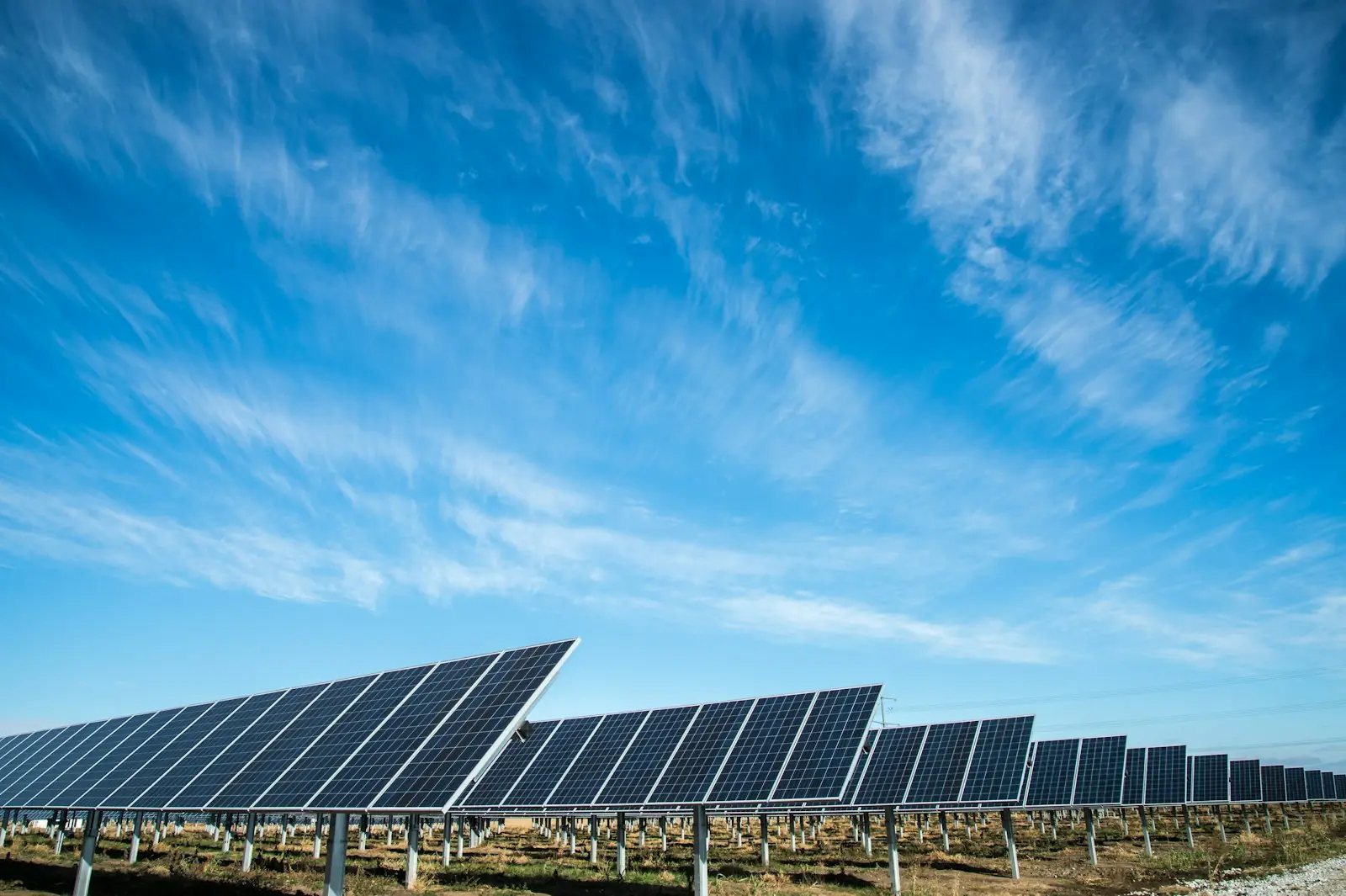
Emissivity, reflection, soiling, irradiance, wind, cloud, load and viewing angle affect apparent temperature. An observation may justify electrical or visual checks but does not by itself confirm cause, safety or production loss. Electrical specialists validate findings and decide testing, shutdown or maintenance. DataTerra does not currently present a public thermal mission as a case study; the available media is illustrative.
Frequently asked questions
Is a thermal camera always available?▸
Sensor availability and compatibility are confirmed for each quote.
Does a hot area mean a defective module?▸
Not automatically. It is an observation to be interpreted with capture conditions and electrical checks.
Can every module be identified?▸
Only when inventory, naming, resolution and coverage support a reliable association.
A mission-specific quote
Each mission uses only the methods required by its goal. GCPs, thermal or multispectral cameras, 3D models and reports are included when relevant and confirmed in the quote. RTK is mentioned only when its availability is confirmed explicitly. Submitting the request does not trigger a charge; DataTerra replies with a proposal.
Coverage and feasibility
Operations are available in Mexico and Colombia depending on location and operator availability. Airspace, site permission, access, weather, risk and required equipment are checked before confirmation.
Related operations
← Back to drone services
Tell us what you need to decide and which site must be documented.
Request a mission quote