Mapping and measurement
Aerial mapping for viewing, measuring and sharing current site conditions
A folder of photographs is not yet a map. The mission must cover the area consistently, retain sufficient overlap and produce files whose resolution, coordinate reference and limitations are documented. DataTerra connects planning, capture, processing and delivery to turn the flight into a usable cartographic baseline.
The decision this mission supports
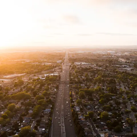
Aerial mapping is useful when satellite imagery or an older plan no longer describes the site well enough. It can document land, prepare field work, record the general configuration of a worksite, locate visible features or provide a recent shared view for clients and technical teams.
To prepare the quote, we need the approximate location and area, intended use, required level of visible detail, expected file formats, existing coordinate reference or plans, and whether RTK, GCPs, contours, elevation data or a point cloud are required.
How acquisition is designed
Area and required detail determine altitude, route, overlap and image count. Feasibility checks cover access, airspace, terrain, obstacles, vegetation, uniform or reflective surfaces and lighting. Coverage is reviewed after flight before processing so that gaps or unsuitable images can be identified.
A public example of format and output
DataTerra's published Corasol report presents a 7.8 ha orthophoto at 5 cm/pixel, an extent of 483.8 × 363.5 m, an elevation model and 1 m contour intervals. These values belong to that specific mission and are not a transferable performance guarantee. The example shows how resolution, coordinate system and the deliverable inventory are documented.
How the mission is prepared
- 1
Describe the site and decision.
Location, area, environment, urgency and expected deliverables.
- 2
DataTerra checks feasibility.
Airspace, access, weather, equipment, resolution and permissions.
- 3
Receive a clear quote.
The proposal defines capture, processing, outputs, limits and conditions.
- 4
Access the results.
Agreed files and viewers are delivered through the client workspace.
Possible deliverables
- ✓a georeferenced orthophoto for viewing or GIS use;
- ✓GeoTIFF or COG files and agreed web-viewing derivatives;
- ✓a digital surface or terrain model when the data supports it;
- ✓contours at an interval defined for the project;
- ✓point cloud, source imagery or other agreed derivatives;
- ✓a PDF report documenting method, extent, resolution and main limitations.
The quote includes only the outputs required by the assignment. An orthophoto alone does not imply centimetre accuracy, a reliable bare-earth model below vegetation or cadastral status.
Example of the DataTerra mission report format (Corasol case) — shown only as a format sample, not as a demonstration of this operation.
📄 View a sample report (PDF)Limits and conditions
Quality depends on aircraft and camera, altitude, overlap, surface texture, relief, vegetation, scene movement and the control method. RTK or GCPs are specified when required and feasible. DataTerra documents the method and available controls; the output does not automatically become a cadastral survey or a plan signed by a licensed professional.
Frequently asked questions
Can I open the orthophoto in a GIS?▸
When a georeferenced output is included, its format and coordinate reference are agreed before processing for use in the intended software.
Are contours, point clouds and terrain models always included?▸
No. Each derivative is included only when it serves the objective and the acquisition can support suitable quality.
Will the whole site have centimetre accuracy?▸
This is never automatic. Accuracy depends on the method, RTK/GCP control where applicable, acquisition geometry and validation checks.
A mission-specific quote
Each mission uses only the methods required by its goal. GCPs, thermal or multispectral cameras, 3D models and reports are included when relevant and confirmed in the quote. RTK is mentioned only when its availability is confirmed explicitly. Submitting the request does not trigger a charge; DataTerra replies with a proposal.
Coverage and feasibility
Operations are available in Mexico and Colombia depending on location and operator availability. Airspace, site permission, access, weather, risk and required equipment are checked before confirmation.
Related operations
← Back to drone services
Tell us what you need to decide and which site must be documented.
Request a mission quote