Energy, agriculture and environment
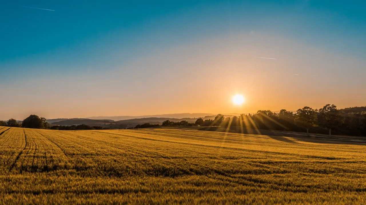
Multispectral mapping for locating where the field should be checked
Satellite data can track broad-area trends. Multispectral drone capture may add spatial detail on a selected date. Both products show optical signals; neither replaces agronomic field observation that explains the cause.
Defining the agronomic question
The client and agronomist provide crop, relevant variety, growth stage, recent management, irrigation, known events, boundary and reference areas. They define whether the mission is for general variability, sector comparison, sampling preparation or intervention follow-up. Timing follows the crop and decision, not availability alone.
Before quoting, compatible multispectral equipment, bands, calibration, light, wind, cloud, resolution and traceability are confirmed. Without consistent conditions, comparisons between dates may be misleading.
How the mission is prepared
- 1
Describe the site and decision.
Location, area, environment, urgency and expected deliverables.
- 2
DataTerra checks feasibility.
Airspace, access, weather, equipment, resolution and permissions.
- 3
Receive a clear quote.
The proposal defines capture, processing, outputs, limits and conditions.
- 4
Access the results.
Agreed files and viewers are delivered through the client workspace.
Possible deliverables
- ✓orthomosaics for available bands;
- ✓NDVI, NDRE or other agreed index maps;
- ✓relative zones within the field;
- ✓statistics for agreed sectors or polygons;
- ✓geospatial files and a report of date, method and limitations;
- ✓suggested field-check points or routes.
The public Tepoztlán case demonstrates DataTerra's satellite agricultural report, not a multispectral drone mission. It can provide context before requesting finer spatial detail.
Example of the DataTerra mission report format (Corasol case) — shown only as a format sample, not as a demonstration of this operation.
📄 View a sample report (PDF)Limits and conditions
Vigor, water, nutrition, soil, disease, shade, weeds and management can create similar patterns. An index does not automatically identify cause or prescribe fertilizer, irrigation or treatment. Agronomists combine maps with crop knowledge, history, sampling and field visits. DataTerra does not yet present a public multispectral drone mission as a case study.
Frequently asked questions
How does this differ from the satellite agricultural report?▸
Satellite supplies broad context and monitoring; a drone may add detail on a selected date with confirmed equipment.
Do NDVI or NDRE diagnose disease?▸
No. They locate optical variability for field verification and interpretation.
Can several dates be compared?▸
Yes where method, crop, conditions and calibration make the series comparable; those conditions must be documented.
A mission-specific quote
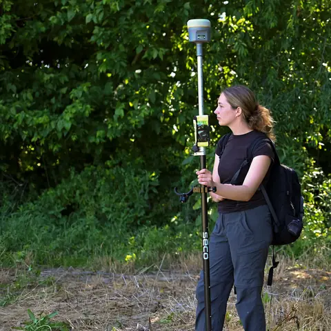
Each mission uses only the methods required by its goal. GCPs, thermal or multispectral cameras, 3D models and reports are included when relevant and confirmed in the quote. RTK is mentioned only when its availability is confirmed explicitly. Submitting the request does not trigger a charge; DataTerra replies with a proposal.
Coverage and feasibility
Operations are available in Mexico and Colombia depending on location and operator availability. Airspace, site permission, access, weather, risk and required equipment are checked before confirmation.
Related operations
← Back to drone services
Tell us what you need to decide and which site must be documented.
Request a mission quote