Energy, agriculture and environment
Aerial observation under a species- and habitat-specific protocol
A drone may document cover, access, habitat change and visible presence in selected areas. Usefulness and risk depend on species, season, breeding, vegetation, time, weather, noise and observed behaviour. No universal altitude guarantees zero disturbance.
Designing the mission with the scientific team
The responsible specialist defines the question, area, sensitive species, prohibited periods, exclusion zones, initial altitude, routes and stop rules. They also confirm permits, protection of sensitive locations and any counting or classification method. The operator monitors disturbance signs and stops or adapts the flight under the protocol.
How the mission is prepared
- 1
Describe the site and decision.
Location, area, environment, urgency and expected deliverables.
- 2
DataTerra checks feasibility.
Airspace, access, weather, equipment, resolution and permissions.
- 3
Receive a clear quote.
The proposal defines capture, processing, outputs, limits and conditions.
- 4
Access the results.
Agreed files and viewers are delivered through the client workspace.
Possible deliverables
- ✓orthophoto or habitat-cover map;
- ✓geolocated photographs and video;
- ✓visible observations linked to sectors or transects;
- ✓counts only where a valid protocol exists;
- ✓geospatial files and a report of date, effort, conditions and limitations.
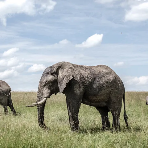
Absence from imagery does not prove species absence. Vegetation, camouflage, movement, size, time and resolution affect visual detection. The page media is illustrative, not a documented DataTerra mission.
Example of the DataTerra mission report format (Corasol case) — shown only as a format sample, not as a demonstration of this operation.
📄 View a sample report (PDF)Limits and conditions
DataTerra plans and documents acquisition. Study design, identification, statistics, ecological inference, sensitive-data management and conservation decisions remain with the scientific team and competent authorities.
Frequently asked questions
Can the drone guarantee no wildlife disturbance?▸
No. Protocol, distance, observation and stop rules can reduce risk but cannot eliminate it absolutely.
Can any species be counted?▸
No. Visibility, behaviour, habitat, resolution and method determine whether a count is defensible.
Is a species absent if it is not photographed?▸
No. It only means it was not observed under the documented coverage and conditions.
A mission-specific quote
Each mission uses only the methods required by its goal. GCPs, thermal or multispectral cameras, 3D models and reports are included when relevant and confirmed in the quote. RTK is mentioned only when its availability is confirmed explicitly. Submitting the request does not trigger a charge; DataTerra replies with a proposal.
Coverage and feasibility
Operations are available in Mexico and Colombia depending on location and operator availability. Airspace, site permission, access, weather, risk and required equipment are checked before confirmation.
Related operations
← Back to drone services
Tell us what you need to decide and which site must be documented.
Request a mission quote