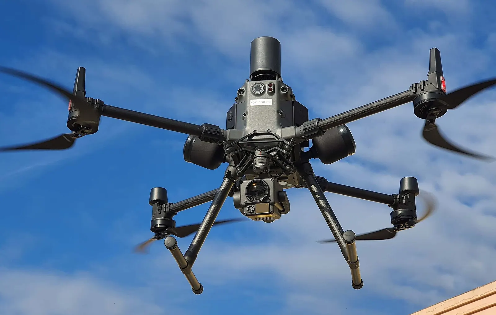
Worldwide requests — operator network launching in Mexico and Colombia · quote-based
Centimeter precision, when you need it
Aerial mapping, 3D models and drone inspection — operated by the DataTerra team, with deliverables viewable and downloadable in your client portal.
Our services
Five operation families, from mapping to intervention. Each mission is defined around the site, objective, feasibility and agreed deliverables.
Mapping and measurement
Orthophotos, surface models, contours, profiles and volumes with documented method, reference and limits. Accuracy depends on the agreed protocol and controls.
Aerial mapping
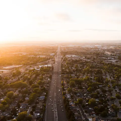
Current orthophoto and mapping context with resolution, reference, method and uncovered areas documented.
Surveying / topography
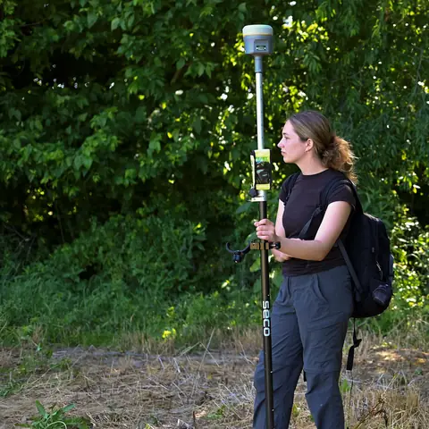
Point cloud, surfaces, contours and profiles for the responsible professional, with agreed controls and coordinate system.
Volumes / stockpiles
Stockpile, cut or fill volumes calculated with documented boundary and base surface; comparable monitoring under a stable protocol.
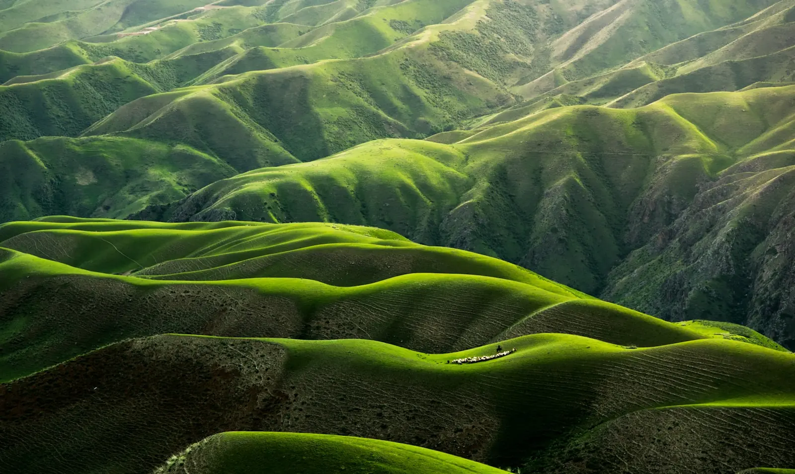
On-site verification
The complement to your Land, Agriculture or Solar reports: the site's real condition, documented up close.
Infrastructure inspection
Imagery organised by component, face or segment to document visible condition. Diagnosis and technical decisions remain with the competent professional.
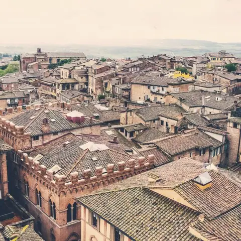
Roofs / buildings
Condition of roofs and facades with no scaffolding or lift: roof orthophotos at dedicated camera angles (75°, 35° or nadir) to document every slope.
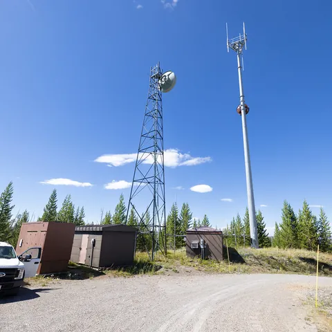
Telecom towers / antennas
Detailed tower and antenna inspection without climbing: high-resolution photo orbits around the structure, equipment condition documented from the ground.
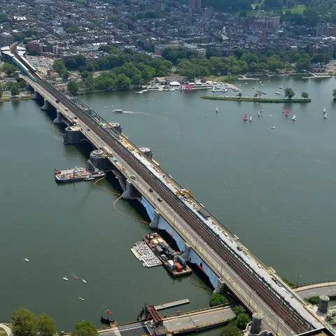
Bridges / infrastructure
Imagery by deck, piers, abutments and visible access areas to support engineering review, without replacing diagnosis.

Visual inspection
High-resolution photos of any structure or equipment following your protocol: a file of geolocated, time-stamped images comparable from one visit to the next.
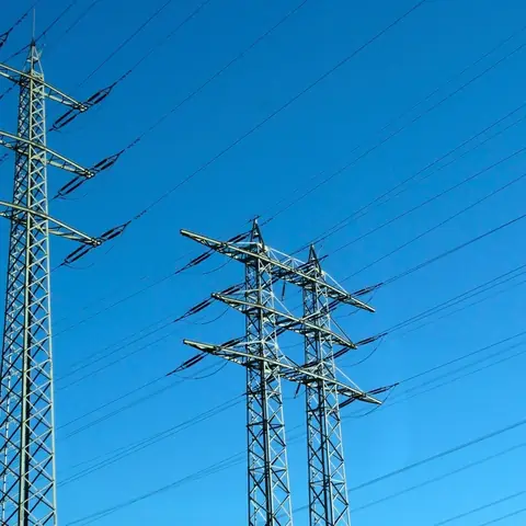
High-voltage power lines
Inspection of energized lines and pylons from a safe distance: insulators, conductors and vegetation encroachment documented with no outage or lift.
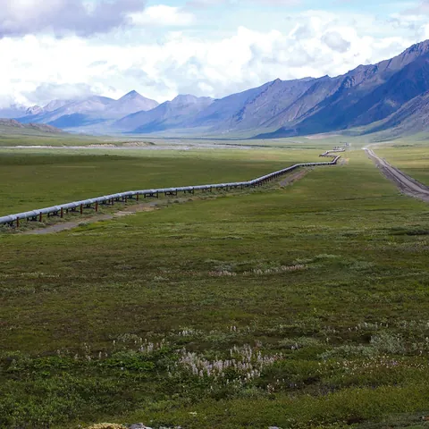
Pipelines (oil / gas)
Segment-based documentation of right-of-way, access, vegetation, erosion and visible indicators; not leak detection or an integrity assessment.
Modelling, heritage and media
3D capture, heritage documentation and visual production defined by intended use, achievable coverage, rights and agreed formats.
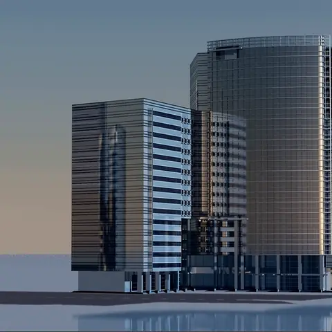
3D building / facade model
Textured meshes, point clouds and photorealistic 3D renders. Manual close-range facade capture, even between trees, poles and metal structures.
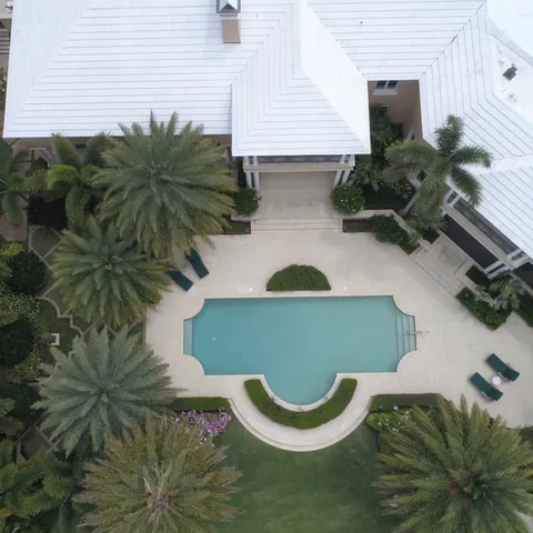
Real estate / tourism
Aerial showcasing of properties, land for sale and tourist destinations — photos and videos ready to publish.
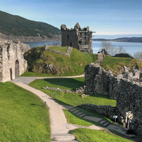
Archaeology / heritage
Fine documentation of archaeological sites and built heritage (churches, monuments): orthophotos, micro-topography and 3D models for research, conservation and restoration.
Aerial photo / video
Photo and video coverage of interventions, events and drills: aerial imagery ready for your reports and communications.
Energy, agriculture and environment
Current data for design, maintenance or monitoring, with sensor, capture window and protocol confirmed before the mission.
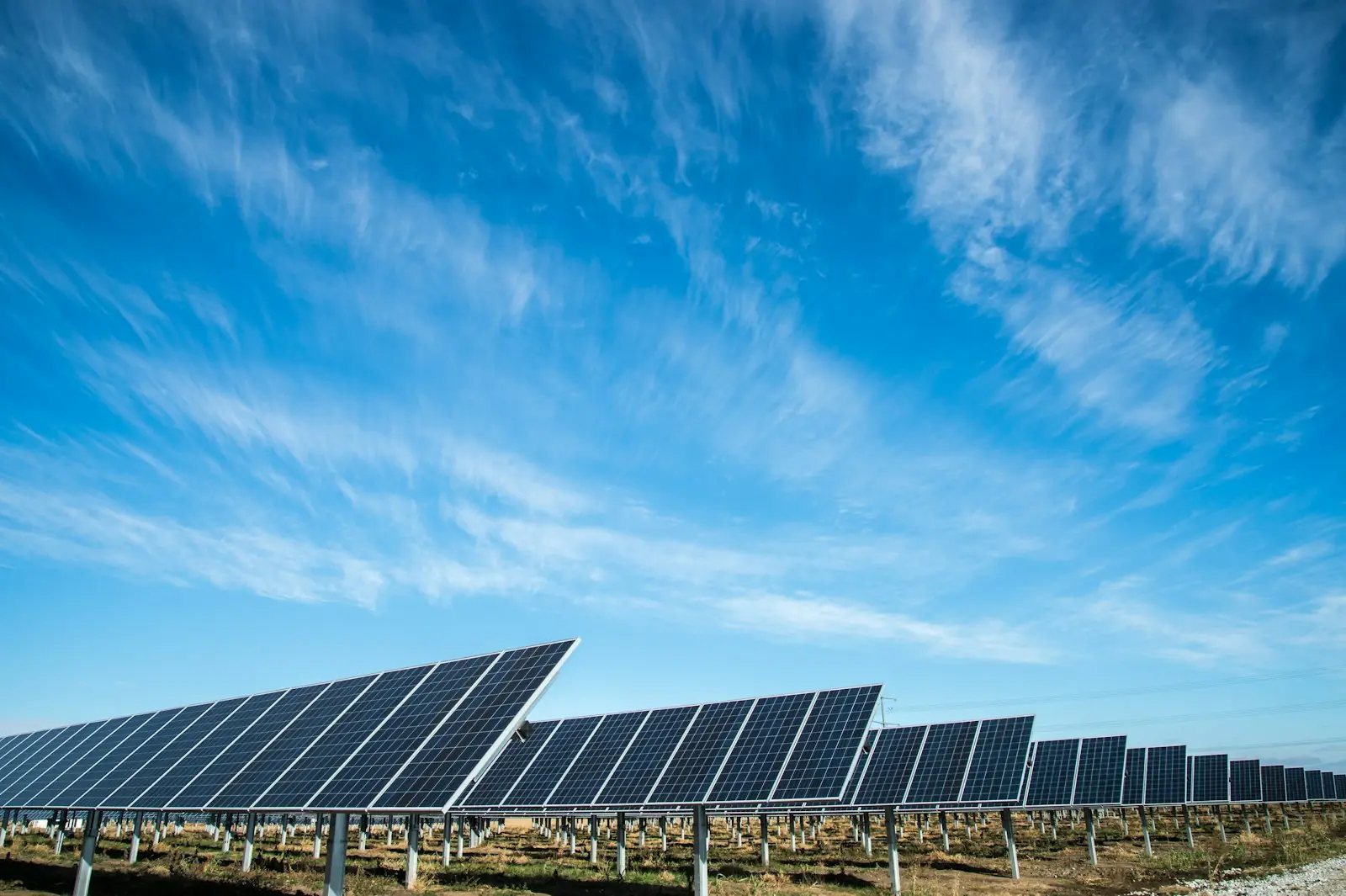
Solar — pre-installation study
The site study before installation: usable surfaces, orientation and shading measured on roofs or ground to size the project.
Solar — thermal inspection
Thermal and visible imagery under controlled conditions, when the sensor is confirmed, to guide electrical review without automatically diagnosing a defect.
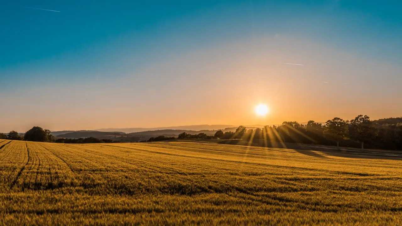
Agriculture NDVI/NDRE
High-resolution NDVI/NDRE maps when sensor and calibration are confirmed, interpreted with crop, date and field observations.
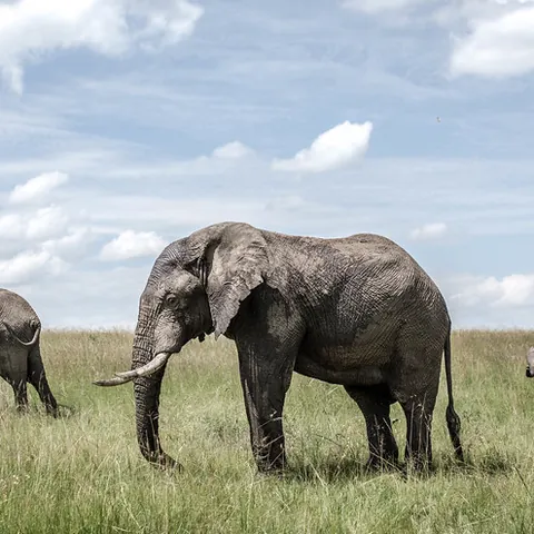
Conservation / wildlife
Mapping and visual support for a specialist-defined protocol, minimising disturbance and never treating non-observation as proof of absence.
Security and response
Time-bounded documentation or aerial-support missions, subject to availability, authorization and coordination with site or emergency leads.
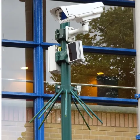
Perimeter security
A time-bounded mission documenting perimeter, access and areas defined by the site lead; not permanent surveillance or automatic identification.
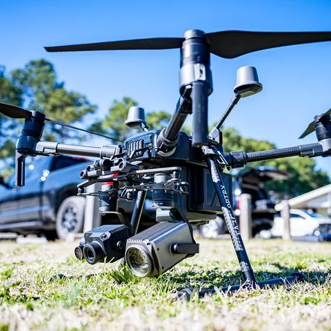
Search & rescue
Aerial support under the command of competent teams, subject to authorization, availability and conditions; no detection or location guarantee.
Technology & accuracy
Not standalone services, but the means we deploy to guarantee the quality of every mission — included in the quote when your goal requires them.
Georeferencing and control
The GCP workflow is operational for controlled positioning. RTK is not presented as a standard capability; any availability must be confirmed explicitly in the quote.
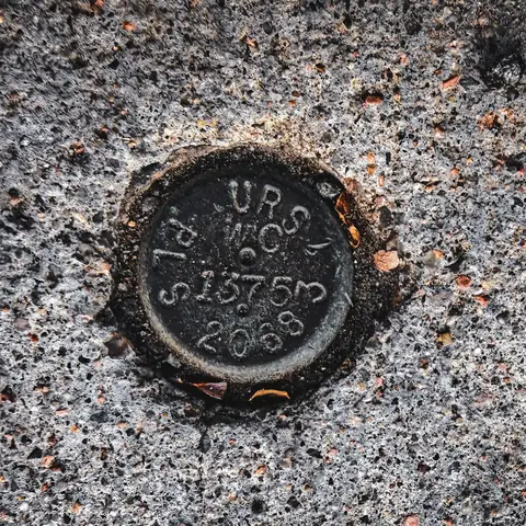
Ground control points (GCP)
Placement, verification and monitoring of ground control points for surveyors and engineers — your drone data georeferenced under control.
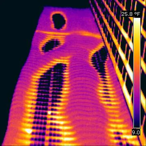
Aerial thermal imaging
Thermal capture requires a compatible sensor, suitable conditions and an interpretation protocol. Availability is confirmed in the quote and it does not replace an electrical or technical diagnosis.
Agricultural multispectral
Drone NDVI/NDRE requires a multispectral sensor, calibration and a relevant agronomic window. The signal shows variability; diagnosis belongs to the agronomist.
Your deliverables, online
Every mission produces professional georeferenced deliverables, downloadable and viewable in your client portal:
- ✓Georeferenced orthophotos (GeoTIFF/COG)
- ✓3D models & point clouds
- ✓NDVI / thermal maps
- ✓Illustrated PDF reports
- ✓High-resolution photos & videos
- ✓Online viewing: contour lines, water-flow direction, Google Earth export
How it works
Describe your need
Site, goal, desired deliverables — via the quote form.
Receive your quote
Within 48 h, no commitment.
We fly
Mission planned and operated in compliance with local aviation regulations.
Get your deliverables
Download and view online in your client portal.
Frequently asked questions
Where do you operate?▸
In Mexico and Colombia, depending on the area and schedule. Tell us where your site is in the quote request — we confirm feasibility within 48 h.
How much does it cost?▸
Every mission is unique (area, access, requested deliverables): we work with custom quotes, no commitment. Describe your need and we come back with a clear proposal.
What deliverables will I receive?▸
Depending on the mission: georeferenced orthophotos (GeoTIFF/COG), 3D models, point clouds, NDVI or thermal maps, photos, videos and a PDF report. All available in your client portal.
Can I combine drone and satellite report?▸
Yes — it's actually the recommended combination: the report (from $29) does the remote pre-screening, then the drone verifies the site's real condition. Ideal before a major purchase.
What about regulations?▸
Flights are operated in compliance with local aviation regulations (AFAC in Mexico, Aerocivil in Colombia), in authorized areas only. Zone restrictions are checked at the quote stage.
Do you measure volumes for mines?▸
Yes, when the mission, terrain and reference surface support a documented measurement. The GCP workflow is operational; RTK is mentioned only when availability is confirmed in the quote. Mass and legal survey accuracy are not inferred automatically from volume.
What is the difference between the solar pre-installation study and the thermal inspection?▸
The pre-installation study comes before the project: usable surfaces, shading and layout. Thermal inspection applies to operating plants: it locates hot spots and defects panel by panel, so maintenance can be targeted.
Do you support security or search operations?▸
Yes — perimeter surveillance of sites and aerial support for search teams, subject to operator availability in your area. For urgent requests, contact us directly and flag the priority.
Can I open my deliverables in Google Earth?▸
Yes. In your client area, your mission's orthophoto (the straightened aerial view) carries a 🌍 KMZ export button: you download a file that Google Earth opens directly, on a computer as well as in the web or mobile version. Your site then appears placed on the globe, at its true position. If contour lines were computed for the mission, they travel inside the same file — just tick them in the left-hand panel of Google Earth. One common confusion worth avoiding: this KMZ is for LOOKING at your site. The KMZ drone pilots talk about is a flight plan meant for the aircraft — a different file, for a different purpose.
How do I read the contour lines of my site?▸
Contour lines join points at the same elevation: they are the fastest way to see where the ground rises and where it falls. When they have been computed for your mission, open the map in your client area and switch on the ⛰ Contours button, then hover (or tap) a line: its elevation appears. Reading them: lines close together mean a steep slope, lines far apart an almost flat area, and lines closing into a loop a mound or a hollow. Nothing to install — it all happens in the browser, and the contours are also included in the Google Earth export.
Can I see where water would run across my site?▸
Yes, as soon as the mission produces a bare-ground model — the relief with buildings and vegetation stripped away. A 💧 Water flow button then appears on that deliverable in your client area: it traces the path rainwater would naturally take and the axes where it gathers. What it is, and what it is not: an indicative preview, useful for spotting the areas worth watching before you ask for a works quote — not a hydraulic study. The computation knows nothing of culverts, buried drains or soil type: soil that soaks water up and concrete that sheds it look identical to it. Have a professional confirm before committing to any works.
Can I find out whether my site had already changed before the flight?▸
Yes, on request: your report can include a « Site history » annex. It draws on annual satellite imagery from 2017 to 2025 and shows whether the ground was already moving before our visit, and in which year. Its precision is worth knowing: one measurement every 10 metres, one image a year. You can see THAT something happened and IN WHICH YEAR — never exactly what (clearing, construction, flooding, abandonment…) nor in which month. It is therefore a signal to cross-check, never a conclusion: the reference measurement remains the drone survey. The annex is simply omitted if your area is not covered by this data.
Request a quote
Describe your project — we get back to you within 48 h, no commitment.
Drone missions are subject to regulatory and weather feasibility in the area. The quote specifies the exact scope, deliverables and timeline.