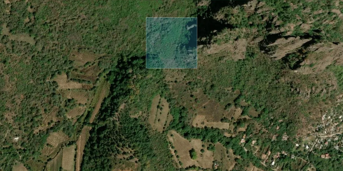
Satellite · Public example
Tepoztlán: a favorable result does not remove essential checks
The 3.99 ha Morelos property scores 72.5/100 with 100% data coverage. Understanding why it scores that way matters more than the label: which signals support the result, which weaken it and which require verification before capital is committed.
This is a real public example, not a generic client mission or a guarantee of results. Another site will not necessarily produce the same figures.
Key figures
- ›Result: 72.5/100 · favorable.
- ›Access and services: 80/100.
- ›Security: 45.6/100.
- ›Terrain: 14.6% average slope · Leptosol.
1. Define what is being screened
The report identifies four vertices and 3.99 ha, while stating that the output does not replace legal due diligence, a site visit or technical studies. If the supplied boundary does not match the legal parcel, the analysis cannot correct that by itself.
2. Read the score through its components
Tenure at 100, security at 45.6, natural risks at 71.8, access at 80 and environment/soil at 74 contribute differently. A favorable aggregate does not mean every dimension is favorable.
On the favorable side, no recurrent surface water was detected for 1984–2021 and no recent fire or deforestation alert appeared over the polygon.
3. Locate the polygon without mistaking location for title proof
The consulted RAN layer does not place the point inside a certified agrarian nucleus and the tenure indicator scores 100. This does not prove private ownership or clean title. Property documents, the public registry and notarial review remain necessary.
4. Let environmental context change the next question
The site lies inside El Tepozteco National Park and within 5 km of the Chichinautzin biological corridor. That cannot be offset by good access: permitted use must be checked with SEMARNAT and the relevant authorities.
Surface pH 6.10 and 25.4% clay come from modeled SoilGrids data. Leptosol is often shallow and rocky; foundation, drainage or agricultural decisions require field work. A 14.6% average slope adds the need for topographic and geotechnical review.
Three checks before proceeding
The report does not say buy or reject. It lowers the cost of asking questions in the wrong order and helps decide whether deeper verification is worth funding.
- ›Legal status: audit title, encumbrances, tenure and document-to-polygon consistency with notary and registry.
- ›Permitted use: confirm National Park and nearby protected-area restrictions for the intended project.
- ›Physical condition: visit and investigate slope, access, soil, drainage and buildability for the intended use.
Request this type of analysis
Related drone operations

Sources
Public PDFs sample-r1-foncier-mx.{es,en,fr}.pdf, 19 pages, edition of 2026-07-16. The four figures come from the cover, the executive summary, page 3 (satellite zone) and an extract of page 7 (environment/soil). Absence in a RAN layer is never presented as proof of ownership, nor the score as purchase advice or complete due diligence.